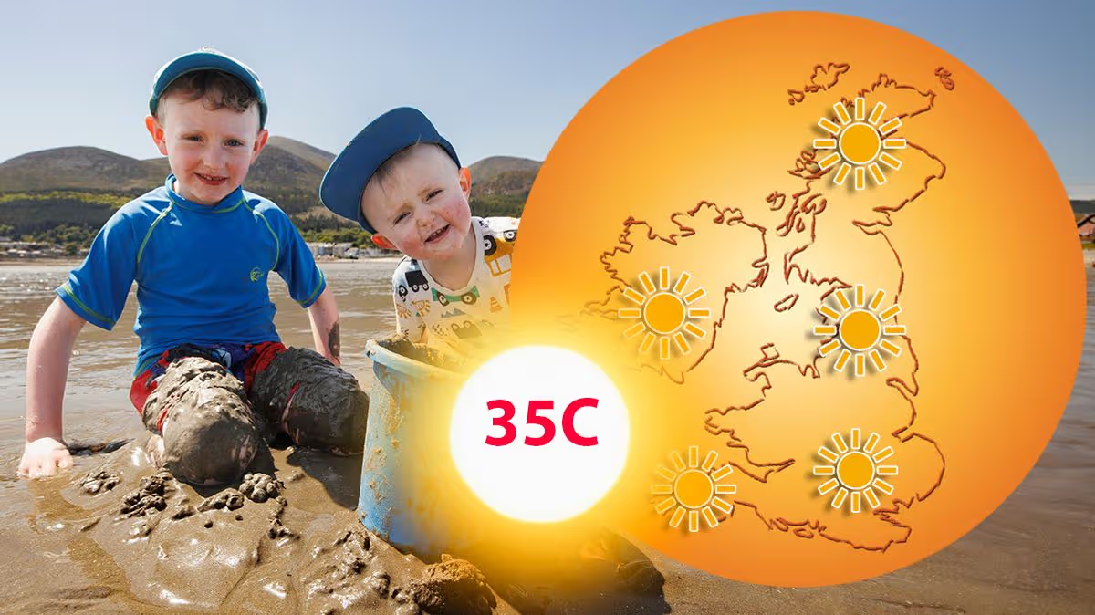




After a week that has rewritten the record books and left the nation sweltering, a gradual but definitive shift in our weather is on the horizon. According to the latest forecasts from the Met Office, the scorching heatwave that has held the country in its grip will finally begin to loosen this coming weekend. The most significant milestone will arrive on Sunday, when peak temperatures in southern areas are predicted to fall below the official heatwave threshold for the first time since the previous Friday. This signals a welcome, if gradual, return to more seasonal conditions, promising relief from the intense and historically unprecedented heat that has characterised the end of May.
This past week has been nothing short of extraordinary, pushing the boundaries of what was thought possible for late spring in the UK. The mercury soared to a staggering 35.1°C in London’s Kew Gardens and 32.9°C in Cardiff’s Bute Park, setting a new national record for the hottest May day ever recorded. The heat was not isolated; it was a widespread phenomenon, with nearly every weather station across England and Wales breaking its local May temperature record. The nights brought little respite, with the warmest May night on record being provisionally recorded and the threat of ‘tropical nights’—where temperatures remain above 20°C—looming. As Met Office meteorologist Alex Burkill noted, the scale of this heat is deeply concerning, comparing its historic significance to the first time the UK breached 40°C.
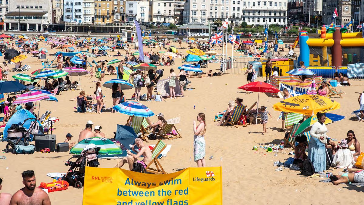
The immediate forecast, however, remains a story of persistent heat with a brief interruption. While much of the country continues to bask—or bake—under sunshine, a sliver of cooler air is expected to bring a temporary, sharp drop in temperatures for parts of the North, Midlands, and eastern England on Wednesday. This respite will be short-lived. By Thursday, the influx of hot air from France will resume, pushing thermometers back up to around 32°C in London, the East Midlands, and the southwest. Friday will see similarly high temperatures, ensuring that the bank holiday weekend began with thousands flocking to coastal spots like Thanet’s beaches to seek relief by the water, under skies that remained largely clear and relentlessly sunny.
The turning point will arrive as we move into the weekend, driven by a large-scale shift in the atmospheric patterns above us. The jet stream, a key driver of our weather currently sitting to the north, is predicted to slowly sag southwards. This movement will open the door to areas of low pressure, bringing with them the increasing chances of occasional rain, stronger winds, and that all-important drop in temperature across the entire UK. While Saturday may still feel very warm, the trend will be firmly downward, setting the stage for a more pronounced change by Sunday.
Come Sunday, the transformation becomes clear. The core of the exceptionally warm air is expected to have retreated to the south, leaving behind temperatures that are closer to—though for many, still above—the average for early June. Crucially, Met Office predictions indicate that Sunday will be the first day in over a week where southern areas will not meet the official heatwave criteria, which varies locally between 25°C and 28°C. Forecasts suggest highs of around 24°C in the south and 20°C in the north, a marked contrast to the mid-30s experienced just days prior. As Met Office Chief Forecaster Andy Page summarised, this marks a “more marked change to near-normal temperatures,” accompanied by an increased likelihood of showers and some longer spells of rain.
In conclusion, the nation is poised at the end of an exceptional and taxing climatic event. The record-shattering heatwave of late May 2026, which delivered not just unprecedented daytime highs but also oppressively warm nights, is finally winding down. The relief will not be sudden, but a steady cooldown through the weekend promises to break the heat’s intensity. The return of cloud, rain, and breezier conditions, while perhaps disappointing for sun-seekers, will be a welcome tonic for the parched landscape, strained infrastructure, and the wellbeing of a population that has endured a truly remarkable and worrying spell of late-spring heat. The weather is, at last, reverting to a more familiar and manageable rhythm as we step into June.