



Paragraph 1
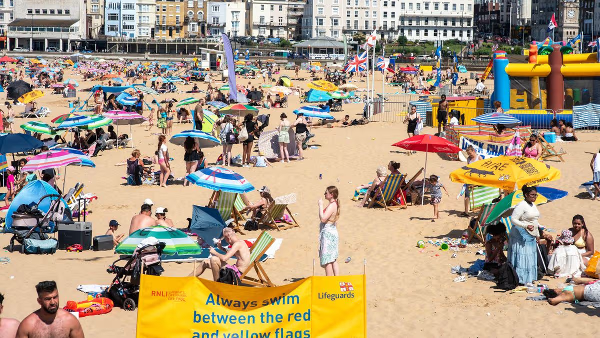
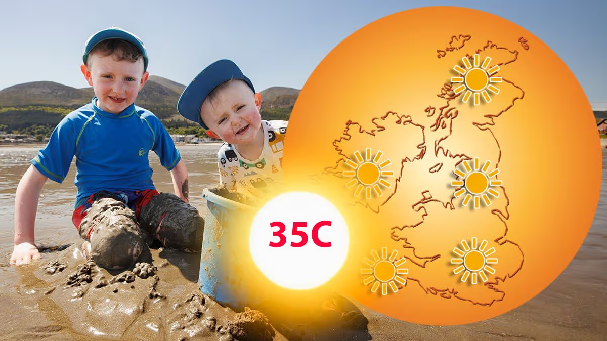
Following an unprecedented burst of late-May heat, which shattered century-old records with temperatures soaring above 35°C, the UK’s weather is poised for a dramatic reversal. The initial summer sizzle, which made headlines over the bank holiday weekend, is set to be displaced by a much cooler, more unsettled pattern sweeping in from the Atlantic. This serves as a potent reminder of the UK’s characteristically variable climate, where extremes can oscillate wildly within a matter of days. The Met Office has signalled the shift, describing the upcoming period as distinctly “changeable,” setting the stage for a stark temperature contrast that will be felt across the nation, particularly in the north.
Paragraph 2
Detailed weather projections, analysing conditions for the early hours of Tuesday, 2nd June, illustrate the sharpness of this anticipated cooldown. According to maps using MetDesk data, a swathe of eleven counties, primarily across Scotland and northern England, could wake to notably chilly minimum temperatures of 5°C or below. In parts of the Scottish Highlands, Moray, and Aberdeenshire, the mercury may even dip to a brisk 4°C, a stark departure from the balmy conditions of recent days. While southern regions will remain comparatively milder, with lows in the high single digits, the overall national picture is one of a significant reset, bringing back the need for warmer layers, especially during the mornings and overnight.
Paragraph 3
The counties pinpointed for the coldest start span from the northernmost reaches of the UK down through the picturesque borders. In Scotland, Aberdeenshire, Angus, the Highlands, Moray, Perth and Kinross, the Scottish Borders, South Lanarkshire, and Dumfries and Galloway are all highlighted. Crossing into England, the chill is expected to grip the scenic landscapes of North Yorkshire, Cumbria, and Northumberland. For residents in these areas, this forecast translates to potential morning frosts in sheltered glens, a cold edge to the air, and a landscape that may feel more akin to early spring than the threshold of meteorological summer.
Paragraph 4
This cooling trend is not expected to be a fleeting moment but part of a broader pattern of unstable weather. The Met Office outlook for the first third of June suggests a procession of Atlantic-driven systems will deliver a mixed bag of conditions nationwide. This means periods of rain and showers, interspersed with drier, brighter spells. The west and northwest will likely bear the brunt of the more frequent and persistent rain, while the south and east may enjoy longer intervals of dry weather. Winds will also pick up at times, adding to the feeling of freshness, particularly in exposed coastal and northwestern areas.
Paragraph 5
Looking further ahead, into mid to late June, there is a signal for conditions to potentially settle down. The initial changeable and unsettled phase may gradually give way as high pressure begins to build its influence from around the middle of the month. This shift could herald a return to drier, more stable, and sunnier weather for many. Accompanying this change, temperatures, which are forecast to be around the seasonal average initially, are predicted to climb, potentially rising above average later in the period. This offers the prospect of a more consistently summery experience as the month progresses.
Paragraph 6
In essence, the UK’s weather narrative is turning a page from an extraordinary chapter of record-breaking heat to one of classic, unpredictable variability. The coming days underscore the importance of staying adaptable, as the atmosphere transitions from Saharan warmth to invigorating Atlantic chill. For now, it’s a time to retrieve light jackets and brollies, particularly in the north, and to appreciate the dynamic nature of the British climate. While the immediate forecast calls for cooler, breezier, and wetter interludes, the longer-range outlook provides a hopeful glimpse of sustained summer warmth waiting on the horizon.